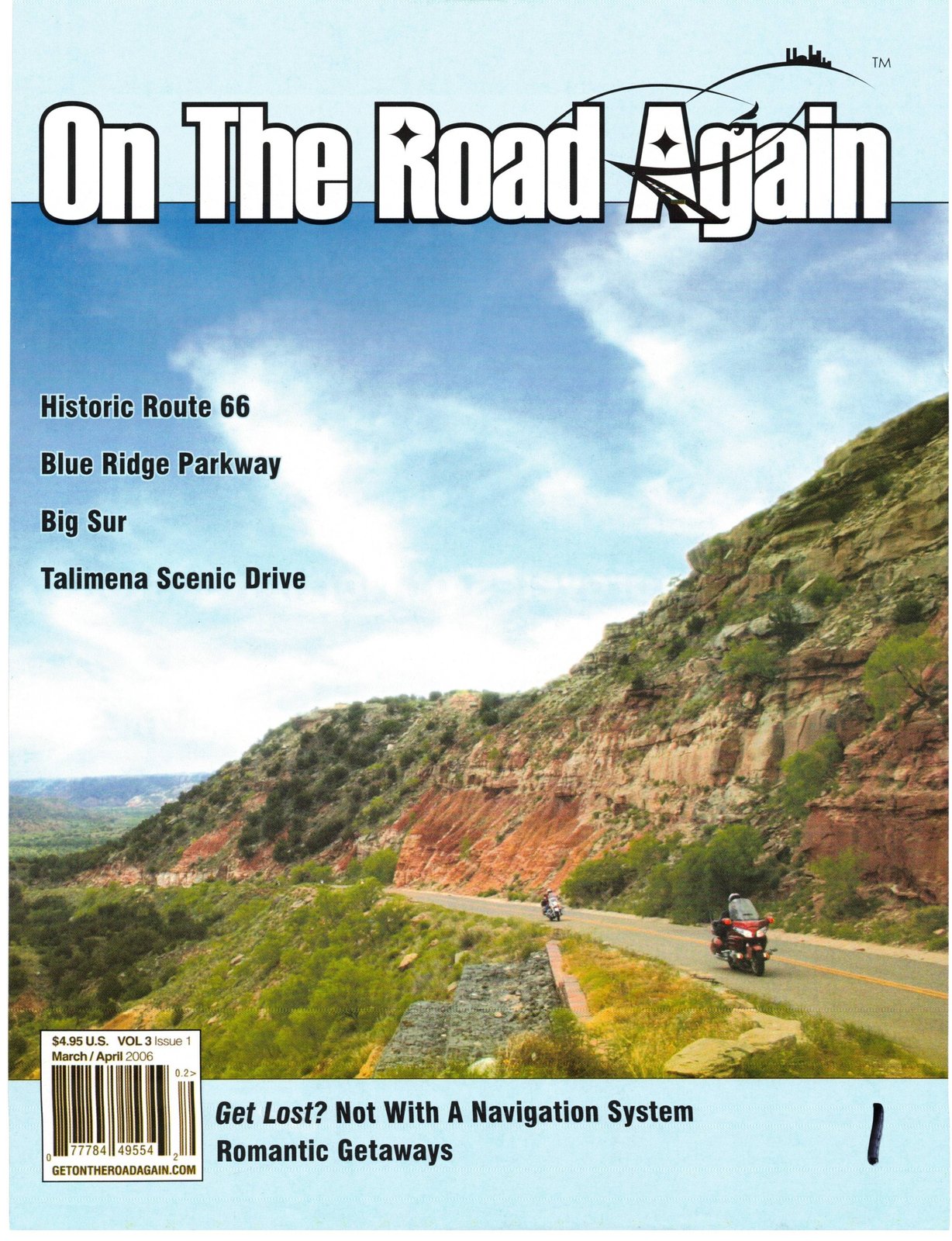
Originally published in Motorcycles On the Road Again, April 2006.
America’s Favorite Drive
469 Miles
2 or 3 days
Waynesboro, VA to Cherokee, NC
The Blue Ridge Parkway is much more than just a scenic byway with many natural attractions; it is also a cross-section of Appalachian mountain history. All along the Parkway are overlook signs, visitor center exhibits, restored historic structures and some of the best photo opportunities in the entire country.
The Blue Ridge Mountains get their distinctive and characteristic blue color from the hydrocarbons released into the air by the forests. As the vegetation changes along the Appalachian Chain the characteristic color becomes more diverse. Changes in the predominant vegetation give the neighboring Smoky Mountains their “smoky” look.
Great care was taken to design and build the roadway in a manner that would allow it to blend into its natural surroundings and to have the least environmental impact on the region.
Before construction on the Blue Ridge Parkway was ever begun, a landscape architect traveled the length of the proposed roadway and planned for each view, each overlook, and each parking area. As a result, there are breathtaking vistas and close up looks at the forest around each turn of the road. Although with the limited space in this article we can’t hope to match the excitement and constant beauty of driving the Parkway.
The Parkway was begun during Franklin Roosevelt’s administration as a project designed to put people back to work and to stimulate the economy during the Great Depression.
The first decisions were that the states would be responsible for securing the land necessary for their sections and then would turn the land over to the federal government. The federal government would build the highway and administer the area as a National Park. It was also decided that the route would follow the crest of the Appalachian Mountains through Virginia and North Carolina.
Construction got underway in 1935 after two years of planning. Progress was slow at the start.
The surveyors worked deep into the mountains and realized the enormous task that lay ahead. Many of the existing roads were little more than ruts and could not support the construction equipment needed. Snakes, rocky terrain and extreme weather conditions further hampered their efforts. The road building went forward in segments as land was acquired and rights of way approved.
In the final design the Parkway required that 26 tunnels be blasted through mountain ridges and dozens of bridges had to be built over the rivers and creeks. Elevation of the Parkway ranges from 600 feet at the James River in Virginia to over 6,000 feet at the Balsam Overlook in North Carolina.
Progress was steady until interrupted by WWII when funds were diverted to the war effort. In the 50’s and 60’s a slow economy hampered the effort. In 1968 the final 7-mile stretch around North Carolina’s Grandfather Mountain was completed.
In order to preserve the fragile environment on the steep slopes of Grandfather Mountain the Linn Cove Viaduct, a 1200-foot suspended section of the Parkway, was designed and built. This section is an engineering marvel and represents a successful effort to fuse road and landscape. Today the Linn Cove Viaduct is one of the Parkway’s most scenic and most photographed places.
This is a great motorcycle ride but it is even more than that. This is a trip back into the history of our country through two of the original thirteen colonies.
Although the trip can commence at either end of the Parkway (or even in the middle) we follow it from its starting point near Waynesboro, VA to its termination near Cherokee, NC. All along the Parkway the numbered mile posts (MP’s) keep you informed of exactly where on the Parkway you are. To preserve the beauty of the area signage is at a minimum and billboards and commercial vehicles are not allowed. For the most enjoyable trip stop at one of the visitor centers and get a guide map that is keyed to the mile posts and will provide you full information about what to do and see.
Make the most of your motorcycle trip along the Blue Ridge Parkway, but keep a few pointers in mind:
Speed. The speed limit is 45 mph, observe it, relax and take the time to savor the experience.
Picnic. The area is very non-commercial, plan ahead, take a picnic and have fun.
Climate. Take warm clothing. The altitude along the Parkway varies by over 6,000 feet. Even in the summer time the weather and the temperature can change quickly.
Watch. Stay aware. There are many bicycles and hikers on or beside the roads.
Photos. Have plenty of memory or plenty of film for your camera. You will want to capture the breathtaking views.
Gas. The only gas station actually on the Parkway is at Pisgah. Everywhere else you must gas up along the intersecting highways. Tank up and top off frequently.
Roughly the Parkway can be divided into segments of approximately 100 miles each.
The first 100 miles takes you through the Virginia Highlands. Then Virginia’s Blue Ridge covers the area from MP 101 through MP 200. Between MP 201 and MP 300 you will thrill in the North Carolina high country. The final 69-mile stretch puts you at the entrance to the Great Smoky Mountains.
MP 5 Humpback Rocks Visitor Center. There are many surviving examples of Appalachian pioneer along the Parkway. The mountain farm exhibit at Humpback Rocks shows a little more about what the early European settlers had to overcome to settle this area.
MP 63 The James River, the lowest point of the Blue Ridge Parkway.
MP 85 Peaks of Otter Visitor Center Museum. The Cherokee Indians as well as the Monacan, Saponi and Tutelo tribes were the earliest inhabitants of the Blue Ridge. The landscape still bears evidence of their existence where they cleared land for grazing and raising crops. Many of the rivers and creeks bear the original Indian names. Arrowheads, artifacts and early tools found in the area are exhibited in the museum.
MP 256. Mountain View Lodge and Cabins. Glendale Springs exit. See our feature article in this issue on the Mountain View Lodge. Near the mid-point of the Blue Ridge Parkway, no matter which direction you choose to ride the Parkway you should consider planning ahead and staying at the lodge.
MP 305 The Linn Cove Viaduct. This 1,200 foot viaduct was one of the more difficult engineering problems of the entire Parkway. To preserve the steep slopes and fragile environmental system of Grandfather Mountain the engineers had to devise a way to put the road through without destroying the beauty of the area. They succeeded and many compare the beauty of the Linn Cove Viaduct to the Bixby Bridge in Big Sur.
MP 355 Mt. Mitchell. At 6,684 feet, this is the tallest mountain east of the Mississippi. From the observation tower in clear weather you will enjoy an 85-mile view. Hike through the Alpine forest or enjoy a mile-high picnic.
MP 385 Biltmore Estate, Asheville. Take US 25 North to the Biltmore Estate. This is the largest privately owned home in the United States. The estate consists of over 8,000 acres. Built over a century ago by George Vanderbilt the home has over 8 acres under roof — there are 250 rooms. Only about 60 are included on the tour. The entire estate was designed to be a fully self-contained community. The estate included everything from its own vineyards and winery to its own dairy and ice cream manufacturing plant. Plan to spend several hours here. Just touring the house can take several hours in itself. The total estate is so massive that it is three miles from the front gate to the house.
MP 407 Mt. Pisgah. The peak of Mt. Pisgah can be reached by a winding trail from the parking area. In the late 1800’s Mt. Pisgah and thousands of surrounding acres were owned by George Vanderbilt as part of his Biltmore Estate and used as a private hunting reserve for his family and friends. The area is inhabited by black bear and visitors are warned to watch for them.
MP 408 Pisgah Inn. The only inn and restaurant (and gas) on this stretch of the Parkway is located at 5,000 feet. Plan to stop here at lunch time and enjoy the view through the large windows of the dining room.
MP 412 Sliding Rock. One of the best “swimming holes” in the country. This huge 60′ foot, flat, sloping boulder creates a natural waterslide as over 11,000 gallons of water per minute rush down its surface. Adults and kids enjoy a day of hiking to the top to repeatedly cascade down the slide. No chlorine, no additives, just nature’s own crystal clear mountain water and having fun in a totally natural environment under the watchful eyes of the lifeguards. (Get directions, sliding rock is about 10 miles off the Parkway) MP 458 The Cherokee Indian Reservation. The Parkway enters the reservation at this point. Informational displays are available at the Lickstone Parking Overlook. While in the area be sure to visit the reservation and pick up authentic Indian handicrafts.
MP 469 Oconaluftee River Overlook. If you are riding the Parkway from north to south you are at the end of your journey. At nearby Cherokee, NC you can enter the Smoky Mountains National Park and continue mountain riding to Gatlinburg and Pigeon Forge, TN. On the way to Gatlinburg you can enjoy the view from Clingman’s Dome at 6,643 feet.
Exit Here
Information for the Blue Ridge Parkway National Park is available at (828) 298 0398.
Another option is US 19 southwest from Cherokee and then Hwy 129 north through Deal’s Gap. Here, the Tail of the Dragon is considered by many to be one of the world’s best motorcycling and sports car roads.
The Tail of the Dragon is made up of 318 turns in 11 miles. Some refer to it as a curvy, exciting dream and others think of it as a nightmare.
Whichever, if you ride it stay within your personal ability level.