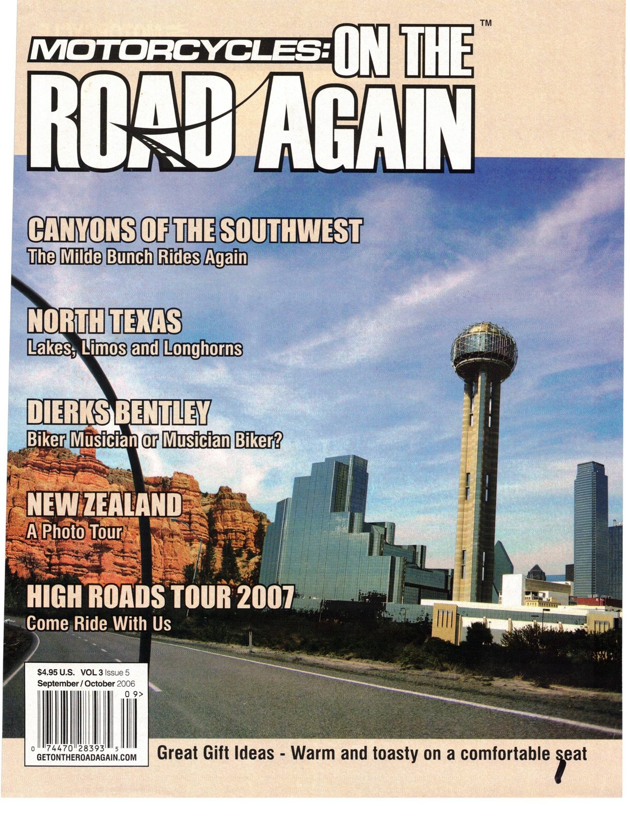
Originally published in Motorcycles On The Road Again, October 2006.
Utah or Bust David Christiansen
The "Mild Bunch", a group of riders in San Antonio, Texas launch out of Helotes, Texas every year in the last days of May for a long weekend in Big Bend National Park. This ride has been a tradition since 1996. At a birthday party of one of the Mild Bunch members in Jan 2005 someone mentioned extending the 2006 trip to go on up to the Grand Canyon. Being the type of a party where there were some libations, it was not long before the trip was extended on up into Utah.
As it turns out, I'm glad we ran out of alcohol at that party. My gas budget and my butt couldn't have withstood much more than the trip with which we ended up riding!
Over the next 17 months the ride organizers read everything that they could on the many places to ride and see in Arizona, Utah and New Mexico. The main objective was to see as much as possible from the seat of a motorcycle and at the same time minimize the time spent on the interstate super slabs trailing behind diesel-belching, rubberthrowing 18-wheelers.
What we learned is that even after having done all of the research you think possible; there are still hidden gems that are to be found along the path. In short, you've got to get out on the ride to find some of the better places.
As mentioned earlier, this trip was to be a continuation of the tradi- THIS PAGE TOP: ZION NATIONAL PARK • BOTTOM: HOODOOS PREVIOUS BOTTOM LEFT: GRAND CANYON • PREVIOUS BOTTOM RIGHT: GREEN RIVER, UT tional Mild Bunch pilgrimage to Big Bend so it had to take place in May. There were some of the Mild Bunch riders who, because of little nuisances called "jobs" and "livelihoods", would be unable to make the entire ride but would have to return to San Antonio the following Monday after Big Bend. They were with us in spirit, though not in body.
Although there is as always much
Bar.kBnaris: Canynns of the Smith West
THIS PAGE TOP: PAGE, AZ • THIS PAGE BOTTOM: LONELY HOODOO IN UTAH to see and do on the ride to and around Big Bend National Park, this article will be focused on some of the roads and experiences encountered as twelve of the bikes and sixteen riders pressed on from Big Bend toward the Grand Canyon and the wide open spaces and places beyond.
Our route took us from Big Bend into New Mexico to Silver City, through Arizona to the Grand Canyon and on into Utah where we enjoyed the many scenic roads and National Forests that adorn the southern half of Utah. From there it was down through New Mexico and home to Texas. We rode at elevations that ranged from sea level on up to over 9,300 feet where the Aspens were thick and the air was thin. Even though several of the bikes were carbureted, they seemed to adjust well on their own and luckily we had no mechanical problems with the exception of a saddle bag lid coming unclasped at what seemed then as every 100 miles which forced the group to have to stop. (The rider of that scooter is now affectionately known as "Loose Lid." )
Green River Utah was the northernmost part of the trip and from there we turned SOUth to Mexican Hat on into Four Corners, Albuquerque, Alamogordo, Cloud Croft, Carlsbad and back to San Antonio via Ozona.
Riding from Big Bend through El Paso in May it can feel as though you rode through a pottery blast furnace and you yearn for some cool mountain riding. The first road lesson we learned on the trip was that once you leave Texas, the landscape and scenery is subject to change practically without notice and within a few miles.
This was the case after we turned off of IH-IO north in New Mexico onto NM 152 toward Hillsborough. Although NM-152 is not mentioned for being a great motorcycling road in any books or road maps that I have seen, it certainly has our vote. I would even say it beat out some that are noted as the "Best in the United States" such as Ranch Road 337 in Texas.
This 65.5 miles of road has the most twists and turns per mile of any route that I have ridden. The road has an excellent surface with almost no gravel or side wash. Everyone in the group agreed that it was one of the top five experiences of the trip. There were what seemed to be endless twisties and hairpin switchbacks that kept the actual traveling speed to less than 50, and on average to around 40 mph. If you intend to use this road as part of your trip, I'd suggest adding an hour to the anticipated travel time and enjoy the curves.
As you enter Silver City on NM 152 be sure to take the time to pull off the road on the left to see the Chino Copper Mine – the largest strip mine in the world. Definitely the biggest hole in the ground that I have ever
Our first night after Big Bend was spent in Silver City, New Mexico. Early the next morning at break- MOGO THEATRE
THIS PAGE TOP: ZION NATIONAL PARK • THIS PAGE BOTTOM: MOGOLLON MINING TOWN, NM fast the receptionist at the hotel's front desk made a recommendation that if we were going toward Arizona on NM 180 that we should take a nine mile detour off of the main road to visit a local ghost town called Mogollon (pronounced Mug-e-on). This turned out to be one of those gems I mentioned earlier. It was one of the most exciting, white-knuckle, scenic, breathtaking roads that we encountered on the entire trip. The road starts out like a rural route road with a gradual incline over what appears to be a plateau and then the road starts to narrow and the ascent becomes more aggressive. By the fourth mile you've already developed "Stage 2" white knuckles as you have twisted and turned along a road that snakes around and is perched on the edge of a mountain. The road starts to narrow, the grades increase and the turns start to turn back onto themselves. Did I say that this ride was not for a novice rider who is afraid of heights or who cannot handle their bike nimbly at low speeds? The higher you go, the more awesome becomes the panoramic view. By the eighth mile you are on a single lane road that makes it tricky to negotiate on-coming traffic; and, at this point you have achieved "Stage 5" white knuckles. Mogollon is a mining ghost town. There are no services except on weekends but there is still plenty to see. Spend some time and let your heart rate return to normal before you start down the mountain. The trip down has even more spectacular scenes but I was not able to get the wife to capture them on film as she kept her eyes closed most of the way down. For additional information about Mogollon, visit their website at www.rozylowicz.com/retirement/ mogollon/mogollon.html
After traversing the Gila National Forrest we stopped in Alpine, Arizona for lunch at the High Country Restaurant run by Mary and David Berkey. This family-owned eatery offers a warm friendly space to relax from the road and features home-cooked meals that are like your Grandma made (before microwaves). After you finish your meal you'll want them to show you to the room in the back that is a hidden treasure in itself – a candy and homemade ice cream store that will make your blood-sugar level go through the roof. We recommend this place if you are within 300 miles of Alpine.
The next day we toured State Road 89 between Camp Verde and Flagstaff. This was ranked as the second best road on the trip because of its scenery, mountain and valley riding and superb surface. We approached Sedona just in time to see the morning sun warming the red boulder mountains that surround this beautiful town. It appears that everything in Sedona is new. If you can schedule your trip such that you arrive Sedona in the morning from the south, it appears as though you're are riding into a postcard. Spectacular! In Flagstaff we encountered the only real chance of getting wet that we would have throughout the trip. As it turned out, we were able to stay ahead of the rain and never had to pull out the rain gear; although there were times that we were positive that the dark heavy skies were about to open up and drown us.
The Grand Canyon absolutely takes the breath from you. Almost THIS PAGE TOP: GRAND CANYON • THIS PAGE BOTTOM: BRYCE CANYON everyone in the group had the same thing to say about the sight "when I approached the overlook, my mind said "I've seen this postcard before". It was at that moment I realized that it was not a postcard but my mind still had a hard time processing the grandeur. I kept telling myself, " I'm at the REAL thing."
If we had seen nothing else, the 3,700-mile trip would have been worth it just for this view alone. However, the best part was that the
BackBnads: Canyons nf the Smith West
TOP LEFT: GRAND CANYON • BOTTOM LEFT: FOUR CORNERS
Grand Canyon, although very impressive, was just the first of many more unforgettable sights that we'd see as we continued through some of the nations most beautiful National Forests and Parks.
To get to the heart of Zion National Park you must ride through several canyons and two 2-lane tunnels that are carved through rock mountains. One tunnel is 1.1 miles long and descends several hundred feet. With the exception of two small windows carved out of the tunnel for a glimpse of sunlight and fresh air, you are in the dark all of the way and being able to sense that you are going down an incline provides a strange almost eerie sensation.
Once at the heart of the park, there is precious little parking! Although the ride into the park itself is exciting, the colors and textures of the massive rock walls that surround you make it all the better. This is one of those time when you "must see to appreciate".
Bryce Canyon National Park is another place that you will want to spend hours of quality time with your camera and communing with nature. At Bryce the canyons have hundreds, if not thousands, of red-gold majestic spires of rock called "Hoodoos" that make for a truly awe-inspiring view {sorry, I just couldn't help it}. To get to Bryce Canyon you will be on UT Hwy 12 out of Panguitch, Utah. This road was ranked third because of many expansive vistas that you will see as you traverse Dixie National Forest, Bryce Canyon, and portions of the Grand Staircaseute..
Escalante National Monument up and over the Aspen-draped Boulder Mountain (Elevation 9,300 ft) and on toward Torrey, Utah.
THIS PAGE TOP: NATURAL BRIDGE
We arrived Torrey just in time for Brunch and made a side trip to Bicknell, Utah and the Sunglow Motel restaurant. Another Unsung gem of the road that deserves special mention; they are famous for their Pickle & Pinto Bean Pie. Whereas I COUId not bring myself to order a slice for brunch, the rest of the menu proved to be delicious; the fresh coffee was great and the service outstanding.
UT 12, between Boulder and Escalante, was our second "White Knuckle" ride. Even the state's park website tells you that this is "not for the faint of heart!" — and that is an understatement. The Hogsback— as this segment of UT 12 is called – features steep drop-offs on both sides of the road. I am really glad that the road surfaces were excellent and other traffic almost non-existent. (This was the case almost everywhere we ventured on this trip.)
We reached Green River, Utah, our most northerly point of the trip. With the exception of a brief encounter with the law in ShowLow, New Mexico, we found every town we visited to be motorcycle friendly. When we arrived in Green River the group was exhausted and did not relish the idea of getting back on the bikes to ride to supper. Chamber of Commerce to the rescue!
Green River does not have a Taxi but if you call the Chamber of Commerce, Connie (from the Chamber) will actually come pick you up at the hotel in their 1988 suburban and take you wherever you want to go in town for supper — for FREE. We chose Ray's Tavern and their burgers were exceptional. The fact that this service was available to us made the stay extra special and we can't thank Connie enough.
THIS PAGE TOP: FLAGSTAFF • PREVIOUS PAGE CLOCKWISE FROM TOP: BRYCE CANYON, ZION NATIONAL PARK, BRYCE CANYON
Bar.kBnads: Canyons nf the SQllth West
Even though we would now start our way back towards San Antonio, there were still many great sights yet to see. From Green River we took UT 191 through the Arches National Park at Moab. The forest roads had signs that indicated that the area had abundant deer and wildlife and after several of the standard warning signs indicating deer crossings; we came UPOn a large flashing road sign that actually said "Danger, Deer Suicide Area."
We began to note that the trees and greenery were becoming scarce and we were once again in the flatlands.
Except for our brief side trip to the Sunspot Observatory out side of Cloud Croft, New Mexico, from Moab on into San Antonio, we would see features that involved rocks, black lava, sand and tumbleweeds. This is not to imply that they were any less impressive than the previous sights, as many were in some cases more impressive.
We certainly recommend the ride through Monument Valley (stay on the paved road), the side excur- Sion to Gooseneck Utah State Park, Mexican Hat and Four Corners. Out of Albuquerque we again tried to avoid the super-slab and headed south to Carrizozo, New Mexico passing through the black lava fields of the Valley of Fires Recreational Area. Instead of continuing south from Alamogordo to El Paso, a long flat stretch of desert road, we hung a right through Cloud Croft, which put us back up in the cool mountain air and spruce/pine forests.
Another side trip that is well worth the time is a visit to the Sunspot Solar Observatory out of Cloud Croft. On the way to Sunspot you will pass several scenic overlooks that offering a great view of the White Sands National Park. From the mountain top road side stop White Sands takes on the appearance of a large snow covered valley.
After leaving the Lincoln National Forest and proceeding through Artesia and Carlsbad we entered the final leg of our trip and traded the cool mountain air for about 12 more hours of hot desert plains riding and the unpredictable cross-winds that always seem to be present Fort Stockton and Ozona, TX.
In addition to being the last unsung gem of the road, a stop at the Super 8 just south of Ozona was the last overnight stop of the trip. I mention the Super 8 in Ozona because it truly is home to a hidden oasis that anyone attempting to traverse Texas on IH 10 Should make an effort to overnight at the Ozona Super 8. After checking in, you will go to your room that has a sliding back door into a lush tropical paradise atrium with a pool, hot tub and lounge area. You'll need to bring your own Mai Tais, but just entering the atrium refreshes the weariest traveler. The adjoining restaurant has great food and superb service — as would expected for most truck stops. Again, do not let the modest exterior fool you; this is a great stop no matter which way you travel on IH 10. TOP: ZION NATIONAL PARK • BOTTOM: PAGE, AZ PREVIOUS TOP: BRYCE CANYON NATURAL BRIDGE • PREVIOUS BOTTOM: BRYCE CANYON
Bar.kBnads: Canynns nf the smith West
In planning this trip we learned that contacting the Chambers of Commerce of the towns along the route paid off with very valuable logistical support, some interesting diversions and suggestions of sites to see while traveling through and around their townships.
At the end of the trip we had logged more 3,700 miles of great riding through some of the most scenic roads in the United States. It is hard to imagine why people travel abroad to other countries to see lands that will never compare to that which we have right here in the Continental US.
Each of the National and State parks that we visited was very impressive in its own right, after the trip the Milde Bunch ranked the top four places to ride to as being:
1. Grand Canyon 2. Zion National Park 3. Bryce Canyon and 4. Mogollon Ghost Town
View the original article scans (PDF)