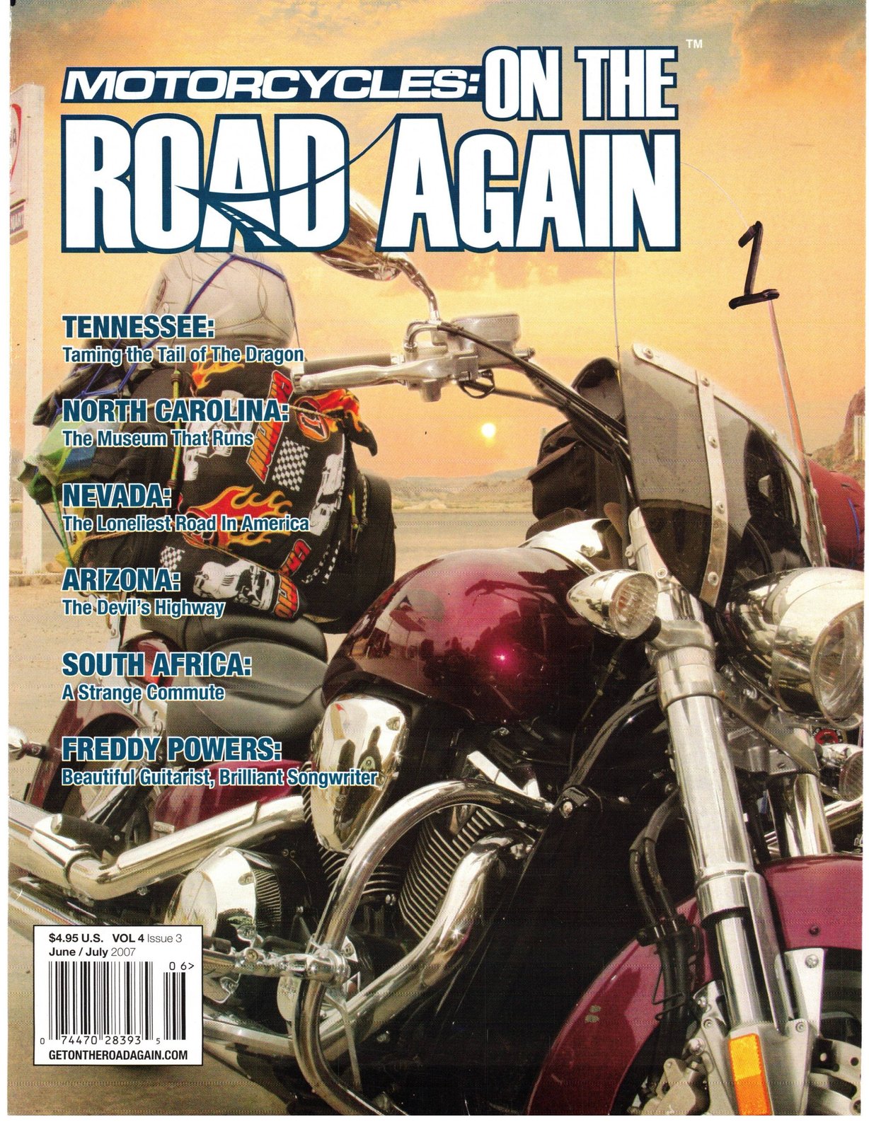
Originally published in Motorcycles On The Road Again, July 2007.
The Devil's Highway Route 666 aka US 191
The sign of the beast?
Or just a beast to ride?
The sixth spur that branched off the Route 66 was designated (in keeping with the numbering system) Route 666. From the beginning legends, stories, prophecies, superstitions and local stories gave this road the nickname of The Devil's Highway. The Route 666 signs were such sought-after souvenirs that the states through which Route 666 ran (New Mexico, Arizona, Utah and Colorado) found it was expensive to constantly be replacing the stolen signs.
Whether true or not, many people believed that there was an extraordinarily high traffic death toll on the Route and attributed it to the name.
Apparitions, packs of demon dogs, a young girl in a flowing white dress, flaming trucks and visitors appearing suddenly in moving vehicles
Discover the heart of the Valley. Minutes from downtown Phoenix: Come for the onvenience. Book for the value. MUSEUMS AND THEATRE SITES OUTDOOR ADVENTURES I APACHE TRAIL SCENIC Call or visit us online. We'll prove it's the smartest move you can make.
VISITMESÅ.COM 800.283.6372 YAP" ARIZONA all contribute to the legends and lore of this highway.
Recently, after 50 years of con troversy, the federal government relented and renamed the highway as US 191 — at least the states won't have to keep replacing road signs to at hundreds of dollars each.
With all of that in mind the stretch of Route 666 from Morenci to Edgar, Arizona is now a recognized Scenic Byway designated as the Coronado Trail. The Federal Highway Administration considers this to be the curviest road in the nation with over 450 switchback and over 1,000 curves and turns in total. They might well have named this stretch "Biker's heaven".
To make a long day trip (262miles) of it start in Edgar and take Route 191 south to Alpine, then 180 to Alma, NM, Route 78 to Three Way, via Mule Creek, and then Route 191 north through Clifton, Morenci, Hannagan Meadows and Alpine.
This ride is a roller coaster and for excitement would be very hard to beat.
Elevations range from 3,000 to 9,000 feet so expect to face cold in the Hannagan Meadow area. Snow in July is not unusual at this elevation.
Set up the curve, lean, shift, throttle and then set up the next curve quickly. Your brain will go into information overload and you will welcome the opportunities to pull off into a scenic overlook just to take a breather — and a few pictures.
Experienced riders recommend taking this trip in a clockwise direction so the sweepers of Route 180 are enjoyed while going downhill and then the serpentine roads from Morenci are challenged while going uphill — and it is uphill all the way on this leg.
View the original article scans (PDF)