By Tom Matthews
There is an old fable about three blind monks coming upon an elephant for the first time. When they returned to the monastery each monk was anxious to describe the beast to his fellow monks. The first, having grabbed the elephant's leg said, "an elephant is like a tree." The second, having found himself holding the animal's trunk said "Oh no, an elephant is like a snake." The third spoke up and refuted both, for having held the tail he said, "An elephant is like a rope."
So what do monks and elephants have to do with motorcycles, touring or Colorado? Simple, many people who visit Colorado only see one aspect of the state and take that impression away. But Colorado is a state of mountains, high plains and deserts, a state of modern, international cities and timeless river canyons. Nearly half of Colorado is high plains, the same grasslands that were home to millions of buffalo and the plains Indians. As you ride through the vast expanse of wheat fields and native grasses, the buffalo are long gone. You are only slightly aware of gaining altitude. About sixty miles from Denver the mountains start to fill your view, start to enter your consciousness. You've reached the Mile High City, filled with great restaurants, nightlife and cultural attractions. But unless your boss sent you on business, you're not here to see the city. It's west, the mountains with roads that soar high over alpine passes, that swoop low in the river valleys and lift you up again.
Aim your bike west from the city. I-70 will get you out of the city in a hurry, only 20 miles from downtown and you are riding through the cut in the Dakota Hogback and climbing through steep walls of Mount Vernon Canyon. Get off the interstate now. Time for real mountain roads. Head south on Evergreen Parkway to Highway 103. Head west again and the fun begins. Squaw Pass is steep and twisty. The road opens up from time to time but don't be fooled. More turns ahead as the road climbs away from the canyon floor.
Turnouts afford a view south across Clear Creek Canyon to the Never Summer Range to the north. The pass is 9,807 feet high and you've gained 4,527 feet in altitude. But wait. Ride and hear the sound of your pipes reverberate off the granite walls of the road cut to your left. Look to your right at a wall of green treetops sloping away to the canyon below. You're in the Arapahoe National Forest. Spruce and aspen line the road. You can smell the trees, you feel the cool as you look out at distant peaks framed by an impossibly clear sky the color of robin's eggs. Ride past the slower pedal-powered two wheelers, and up ahead is Echo Lake Lodge. Time to stop, get some coffee and wonder at the Chinese-made rubber snakes displayed side by side with exquisite Native American art.
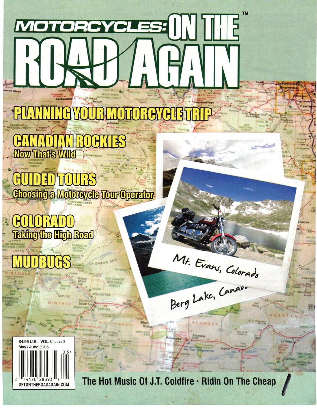
Decision time: are you up for a ride to the top of the world? Just steps away from the lodge is the gatehouse to the Mt. Evans Wilderness Area. From the Lodge's altitude of just over 10,000 feet, you can ride another 18 miles and reach the top of Mt. Evans at 14,264. This is Colorado Highway 5, the highest paved road in North America, second highest in the western hemisphere. It's not for the faint of heart. This is the high alpine. Ride up through a forest of bristlecone pines. Some of the trees are 1,500 years old, some may be 2,000 years old or more. Stop and walk among them. Trunks twisted and polished by sand and snow over the centuries with a small thin band of living bark on the leeward side. Ride on, above the timberline, the road cut into the side of the mountain, twisting around, fighting to gain altitude. The road cuts through a snowfield and the bank towers above you. Watch as mountain goats and Rocky Mountain sheep scamper off at the sound of the bike.
Arrive at Summit Lake, a glacial cirque at 13,000 feet. It may be frozen or may reflect the snowfield that feeds its clear cold waters. Stop and view the alpine tundra: a study in tenacity. Miniature plants cling to the hillsides and bloom tiny flowers in the weeks-long growing season. Eight miles to go to the summit; the slowest eight miles you'll ride outside a Shriner's parade. The road is narrow with no guardrails. Traffic on the downhill side may well crowd into your lane a bit. You'll see interesting expressions on the drivers’ faces as they contemplate the wisdom of their decision to drive to the summit.
The road ahead seems to disappear into the sky yet you ride on knowing the summit waits up ahead. You feel the effects of the thin air on the bike as you rev the engine higher to maintain your momentum. The summit gained, and you are on top of the world. Climb the last sixty feet to the rocky summit and look east to Denver and the plains, over a mile and a half below. Look north to Longs Peak, south to Pikes Peak and west across South Park to the Collegiate Peaks. It's clear now, you know where you will ride; you'll take the high road.
You've left the Front Range, traversed the lonely expanse of South Park to the headwaters of the Arkansas River and crossed the Continental Divide over Monarch Pass at 11,312 feet. You enter the Gunnison River Valley and glide down through the gorge. You have reached the Western Slope, home to ranches, orchards vineyards and more motorcycle adventures. Just before reaching Montrose, the Black Canyon of the Gunnison River beckons. Now a National Park, you'll gaze across the narrow gorge at the 2,700-foot high Painted Cliff soaring above the river.
Continue on to Montrose and south to Ouray, named for the great chief of the Mountain Utes. The city lies in a box canyon and its hot springs pool will soothe you before you continue on. Red Mountain Pass awaits, described as the most scenic road in North America, this is the Million Dollar Highway, carved out of the hillside to bring miners to the diggings and ore back to the east. Cross the summit and wind down to Silverton then on south to Durango. You've left the mountains now: the great desert of the Southwest lies ahead. Ride west to Mesa Verde and visit the home of the Anasazi, the cliff dwellers that eked out a life in this harsh land. Leave the ancient spirits and turn north. Ride into the forest again and follow the San Miguel River across the valley to the Dolores River Canyon. Ride the arid rim-rock canyon of red sandstone and descend to the valley floor before climbing out again under the shadow of a towering mesa.
Now it's time to describe Motorcycle touring in Colorado. Is it the plains, the cities or the high alpine? Is Colorado the Great Sand Dunes, the Black Canyon or Mesa Verde? Desert, forest, mesa? Colorado is all of these and so much more than the sum of its parts. Colorado is not about how many miles you ride in a day, it's about the joy of riding to the top of the world, riding through the forests and the river valleys. How long does it take to tour Colorado? A week if you have it, two weeks if you're lucky and a lifetime if you are truly blessed.
A guided motorcycle tour can make the most of your precious vacation time. The tour operator has mapped out the routes and done all the legwork to book accommodations so you can concentrate on the ride and enjoy the incredible variety Colorado has to offer.
About the author
Tom Matthews has lived and ridden in Colorado for over 30 years and, along with his wife, Lynn, is the owner and operator of Turkey Creek Motorcycle Tours. Tom can be reached at tom@turkeycreektours.com or www.turkeycreektours.com