Original publication: BikerTrash.com
Original byline: Larry Gore
Big Bend 2003
BackRoads with BikerTrash(TM)
Larry Gore
Photo album
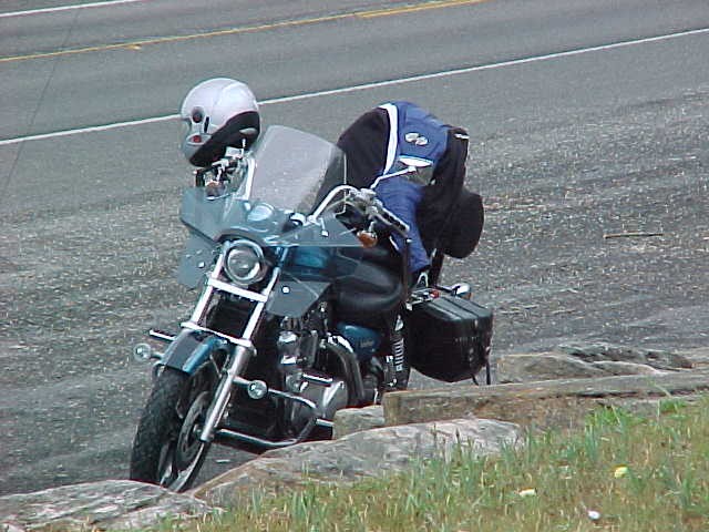
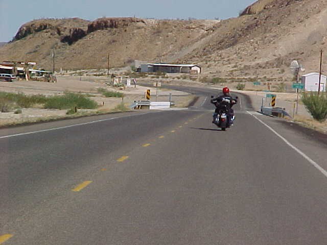
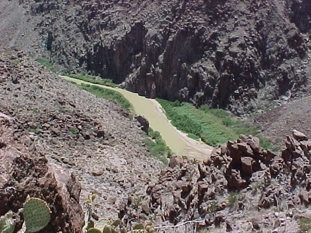
The road abruptly crested the hill and then made a sharp right turn almost immediately. A vertical rock wall on my left and a sheer drop to the Rio Grande River on my right left little room for error. Jamming the gear shift down into second and leaning hard I was able to get the Harley setup properly for the turn and twisted the throttle slightly to roll out of the curve.
Glancing up I could just catch a flash of color from the helmet of the rider in front of me. He had just crested the next hill and his helmet was moving to the left. – Great! Either the road was going to make a sharp left or he just screwed up and I was going to drop in right on top of him!
Should I trust the next rider or slow down and look over the hill first? With a pounding heart I decided to trust him and set up for a sharp left on the down side of the hill. Over the hill, downshift to second and lean into a hard turn. Whew! It was a correct choice – that was the way the road went. Now he was out of sight over the next hill – all I could do was stand on my pegs and try to catch another glimpse of his helmet. In my mirror I could see Jerry behind me and he was standing on his pegs to try to keep me in view.
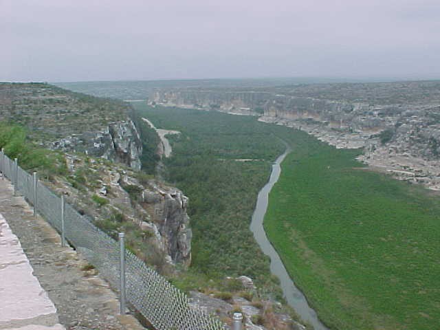
We are less than 6 miles into the famous (or infamous) 49.7 miles River Road from Lajitas to Presidio, Texas. I am thinking “it doesn’t get any better than this” but the other riders had assured me that it does.
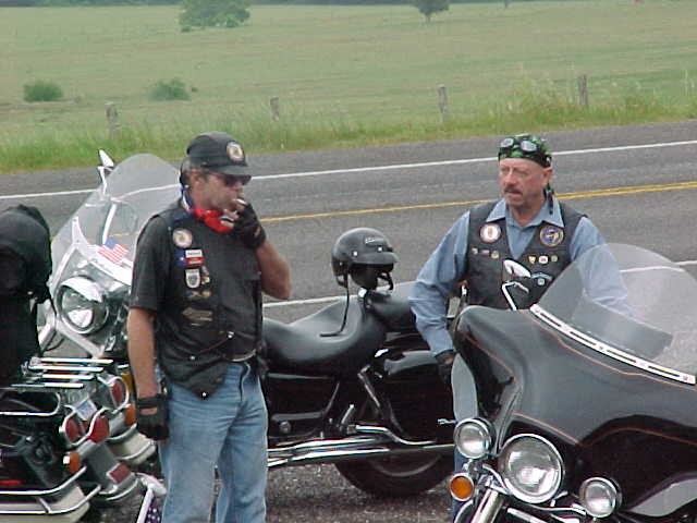
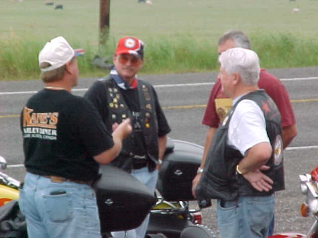
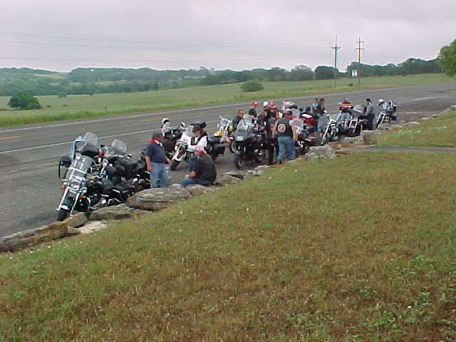
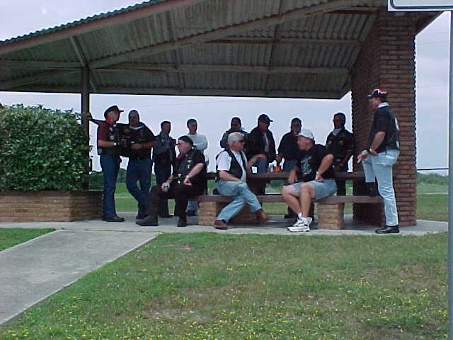
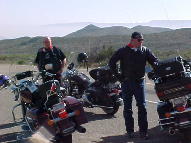
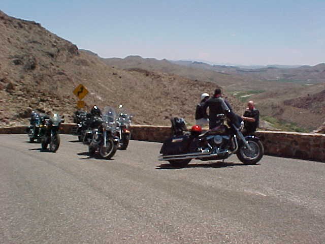
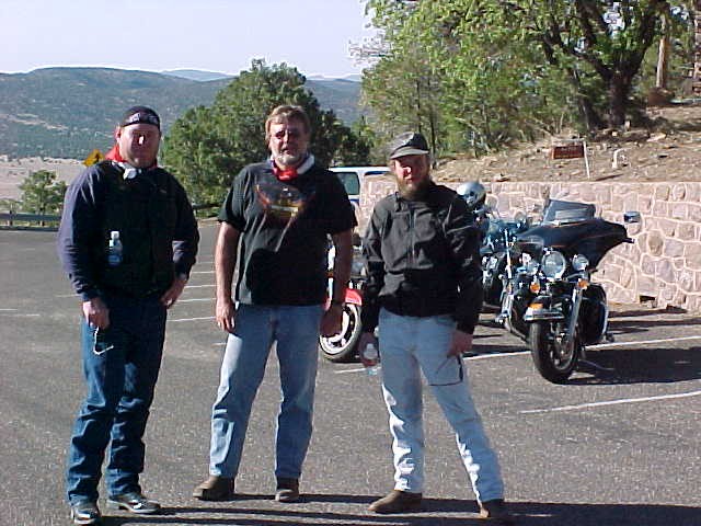
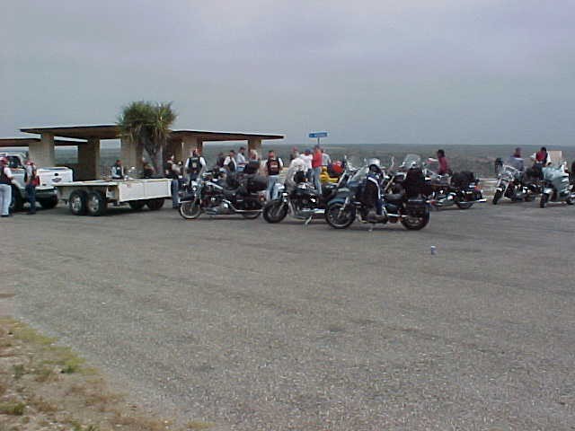
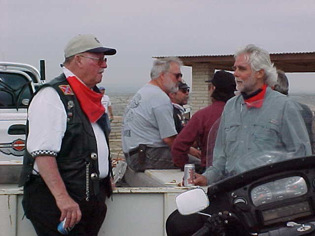
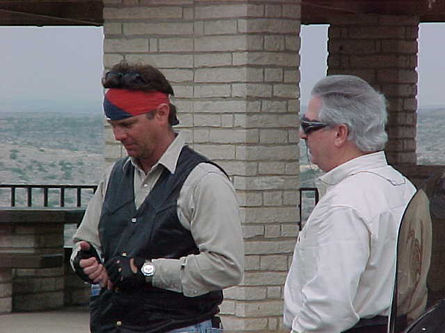
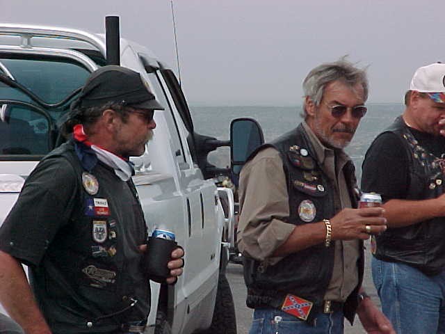
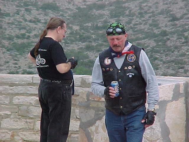
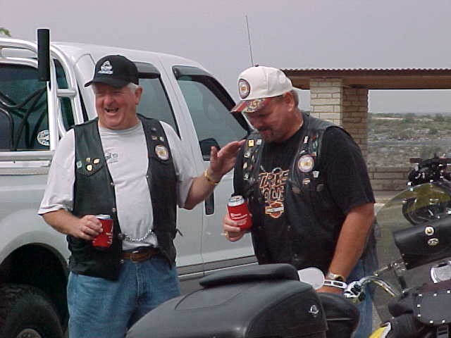
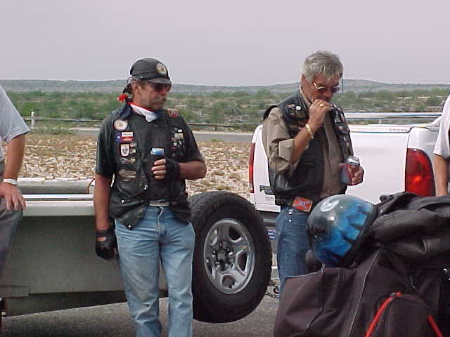
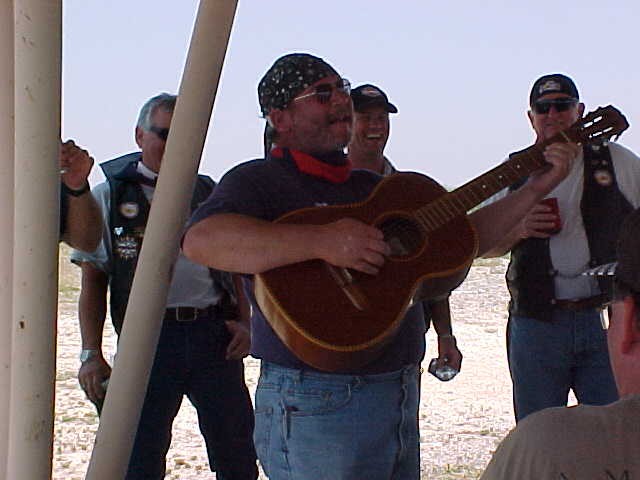
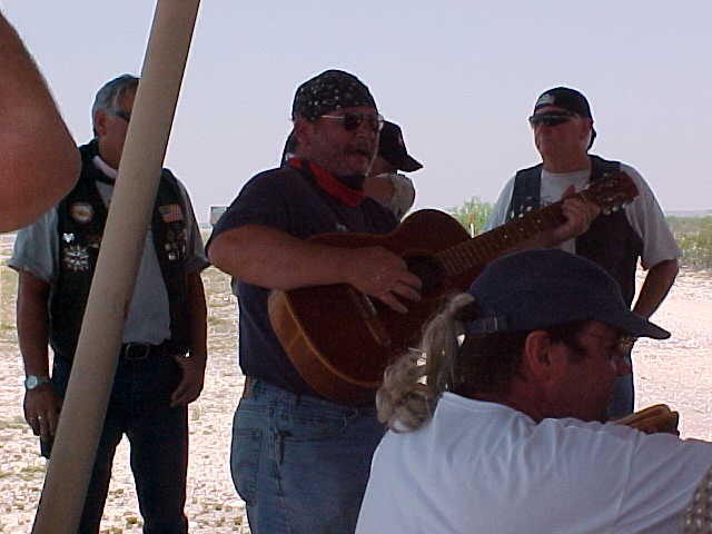
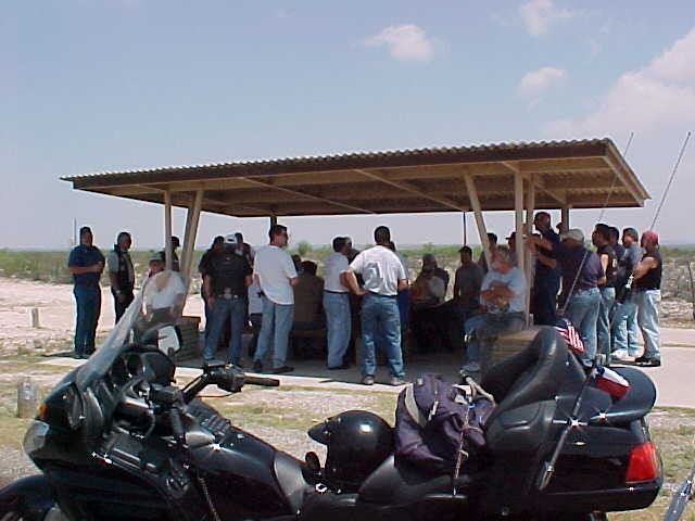
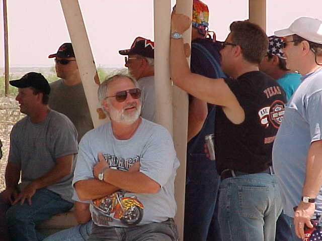
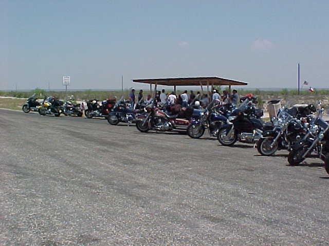
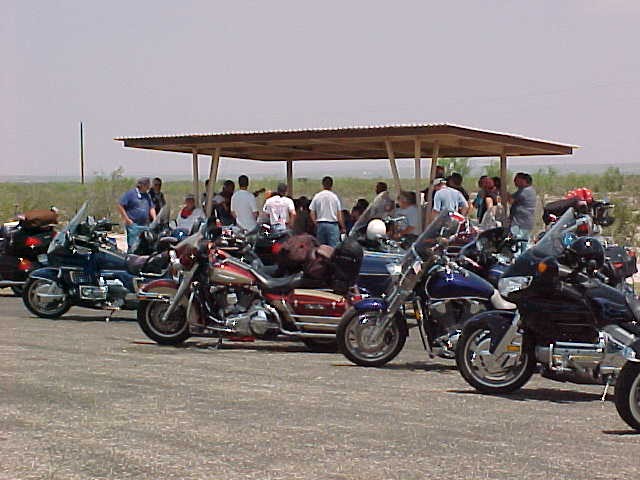
Sweeping around a long curve I see some Teepees on my left. It’s a road side park and the riders ahead of me were already dismounting and catching their wind. Everyone stops for a break – in this desert country you have to constantly guard against dehydration – and to give the rest of the guys a chance to catch up and make sure everyone is accounted for. (Out here if anyone got injured you would not want them left exposed to the elements, or the snakes or scorpions, very long.)
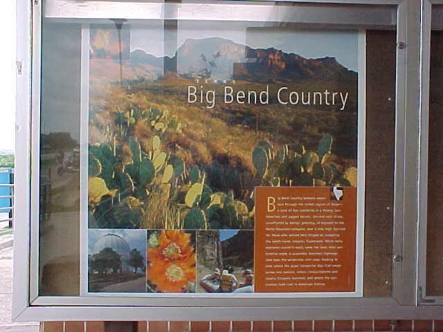
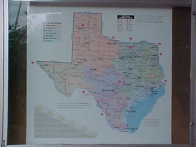
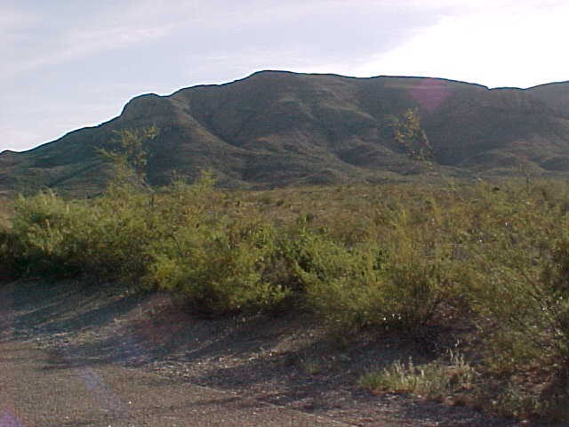
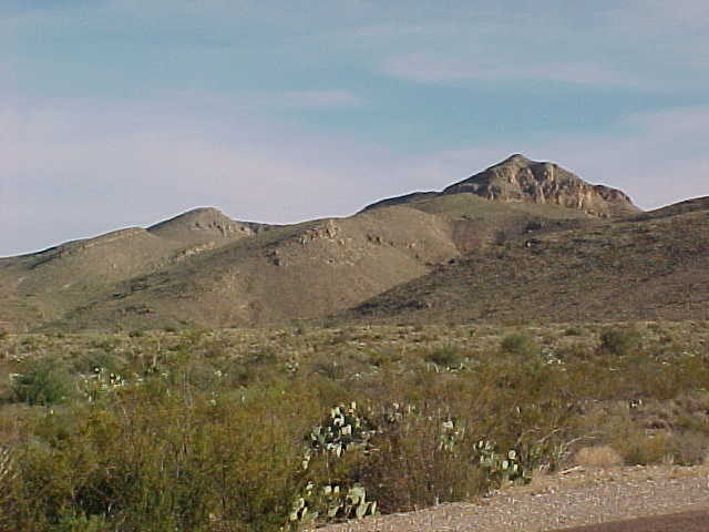
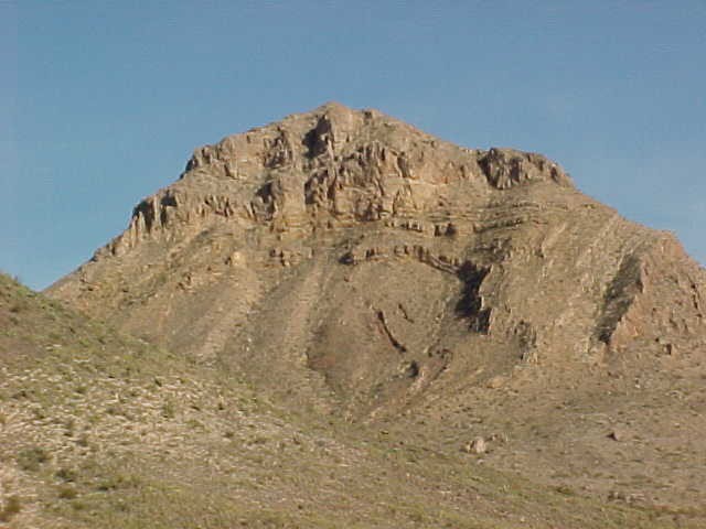
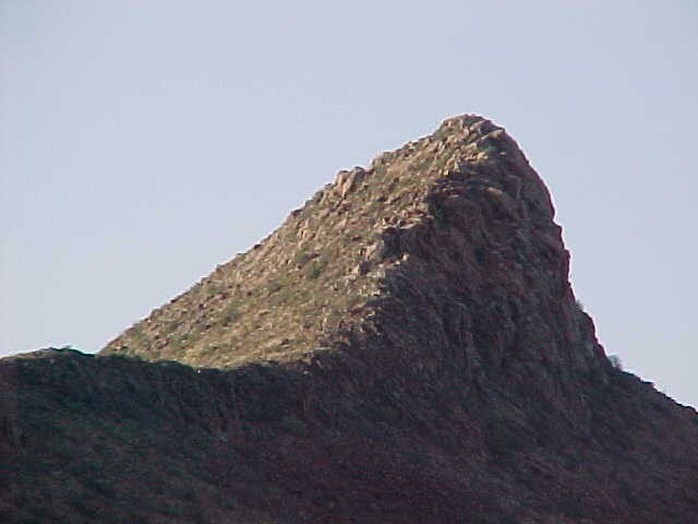
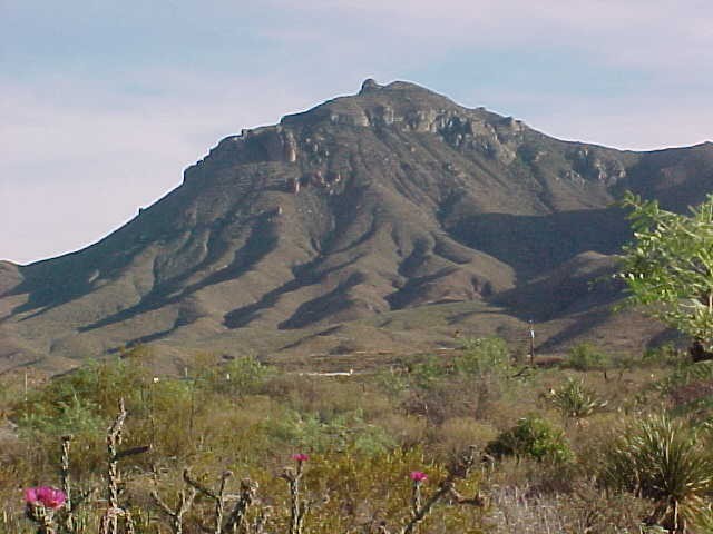
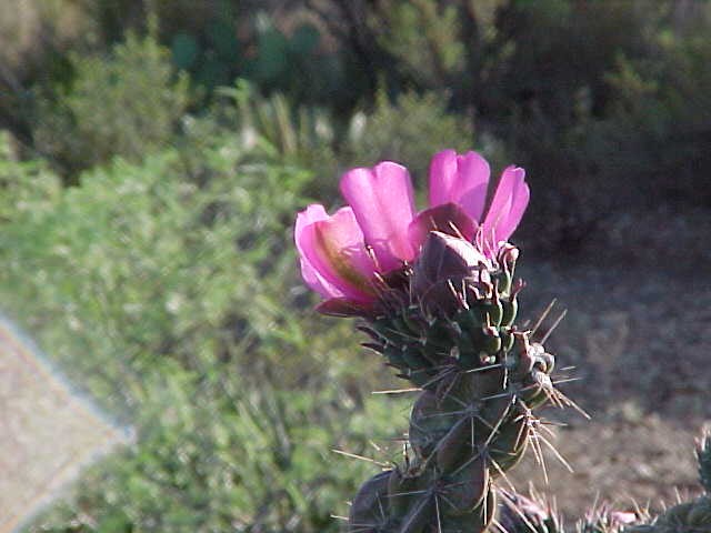
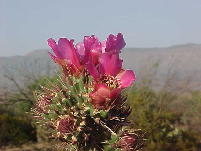
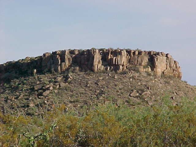
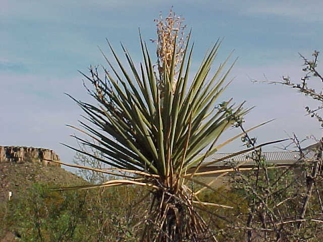
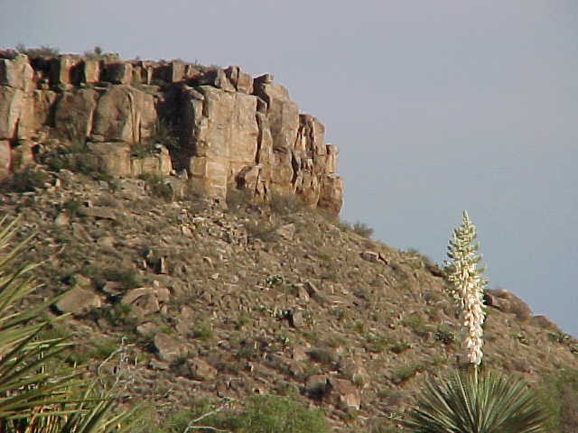
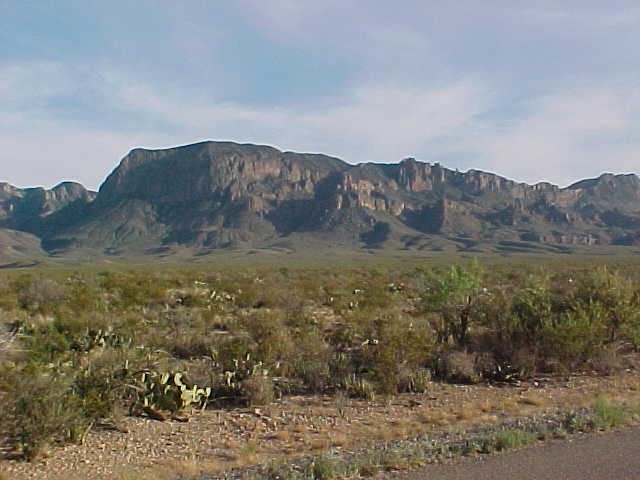
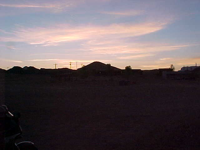
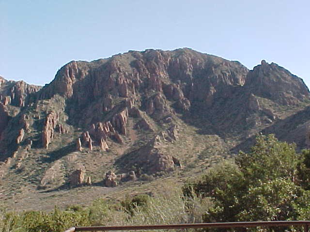
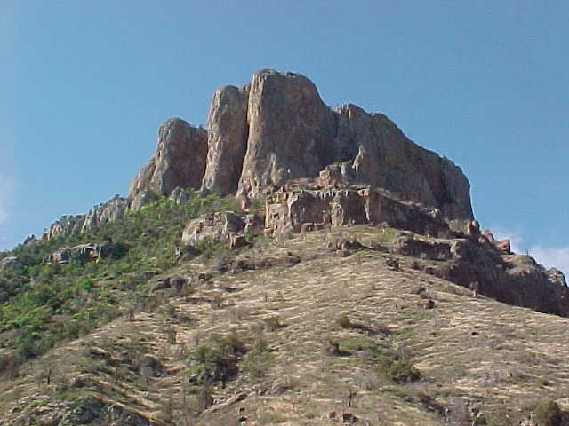
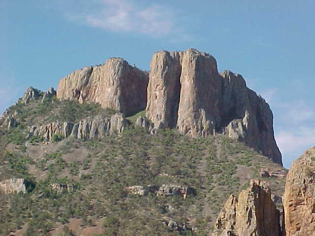
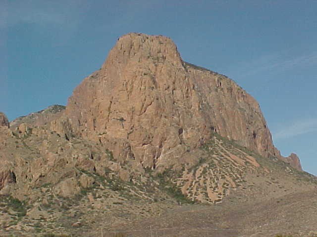
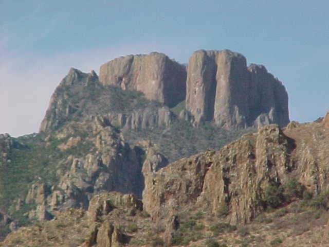
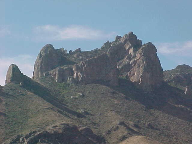
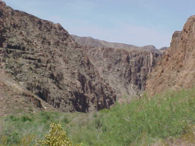
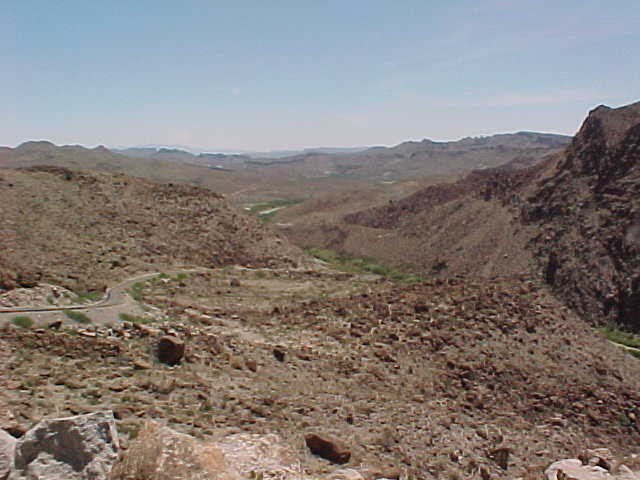
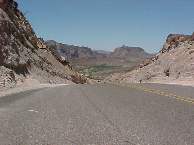
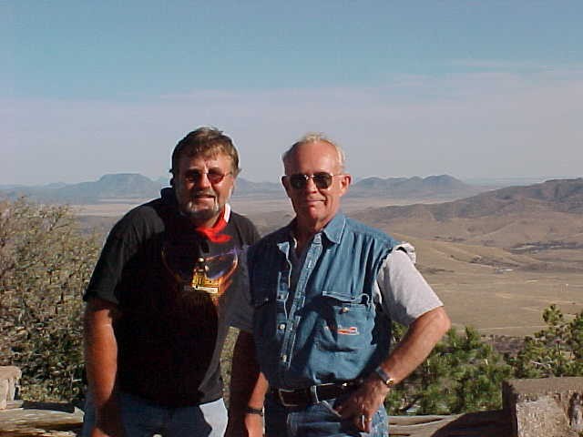
This is Big Bend Country deep in South Texas. A hot, dry, inhospitable but beautiful place. Every turn, every hill brings a new panorama of color, blue skies and strange geological formations.
“This looks like the Grand Canyon, that looks like the Painted Desert and that over there looks like the 4-corners area, those mountains in the distance look like the Smokies”
Whatever your favorite terrain is you are probably going to find a little of it here.
So much to see and to photograph that it is necessary to stop frequently just to gawk.
In the shade of one of the Teepees it is hard to realize that I am only about 600 miles – and two days riding – from Houston. This really is a world away. Our trip to Big Bend had begun on Wednesday, two days earlier. Sitting in the desert it is hard to believe I had actually been worried about rain?
My mind drifts back two short days . . .
- Day 1. Houston to Del Rio (319 miles)
“Rain! The rain started just minutes before our pull-out time of 8:00 am.
Great! Fifteen hundred miles to ride and we have to leave in the rain. Oh well, it’s not raining that hard and the weather channel says it will clear up later.”
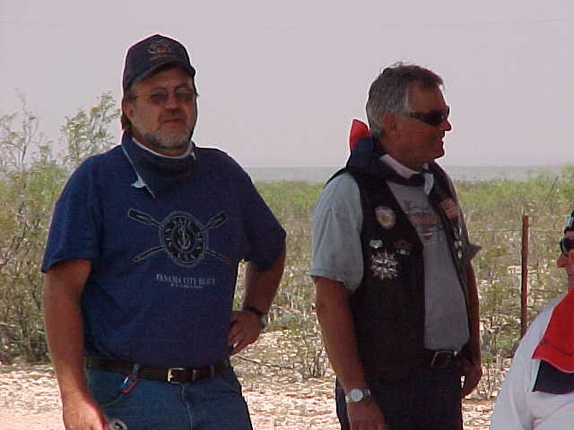
This was the 28th annual Big Bend trip and finally I was going to actually get to go on it. A lot has changed since the first trip in 1976 when Don Brewer (Slimey) and John (Skinny) Haenelt made their first trip. Over the years the “Big Benders” have invited other friends to join them until this year over 60 bikers were signed up to make the trip. “Big Bend” means getting together with friends and spending 5 days together on the road, riding.
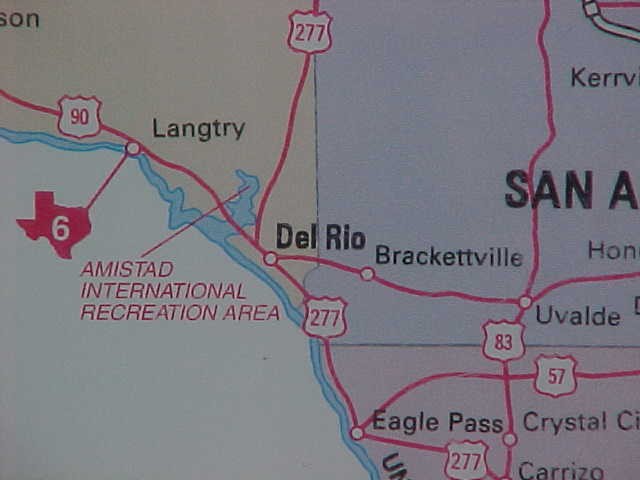
That first day was an easy 319 mile run from Houston (via the BackRoads) to San Antonio, Castroville, Uvalde, Hondo and into Del Rio for the night. At Del Rio we would meet up with the “214” group from “Foat Wuth” (214 is their area code).
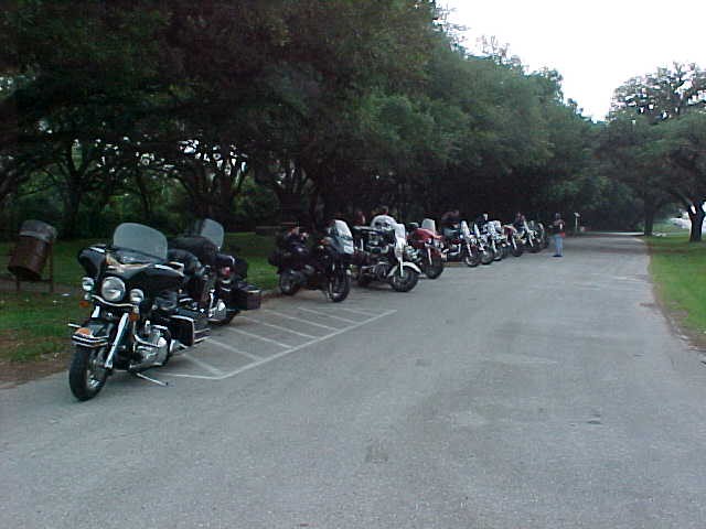
After so many years this group has learned to take a very relaxed approach to traveling. Everyone has a map and knows what the final destination of the day is. They are free to stay with a group and chase vehicle or to ride on ahead at their own pace. By 7:00 pm – after a lot of stops in roadside parks – the last of the group has made it safe and sound to the motel.
Steakhouses, Mexican restaurants, border town bars all offer a wide range of choices for the evening’s entertainment. I opt to stay put, order a pizza from Dominos and visit with “Skinny” and Bill Lindquist. “Skinny” is remarkable, he has made the trip every year except one and he will be 77 soon. In case you think that means he has slowed down just try to keep up with him all day.
- Day 2. Del Rio to Marathon and Study Butte (265 Miles)
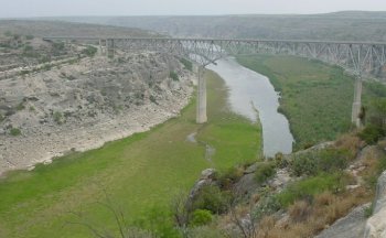
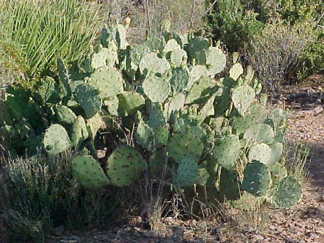
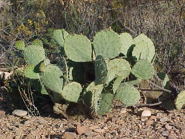
The landscape changes abruptly at Del Rio. Once across the Amistad Reservoir Lake you are really aware that you are in West Texas; rocky, dry, scrubby mesquite trees, sand, and lots of cacti.
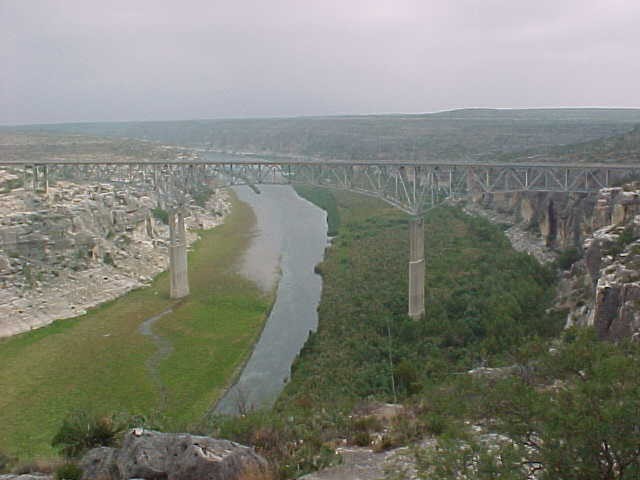
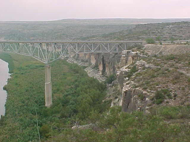
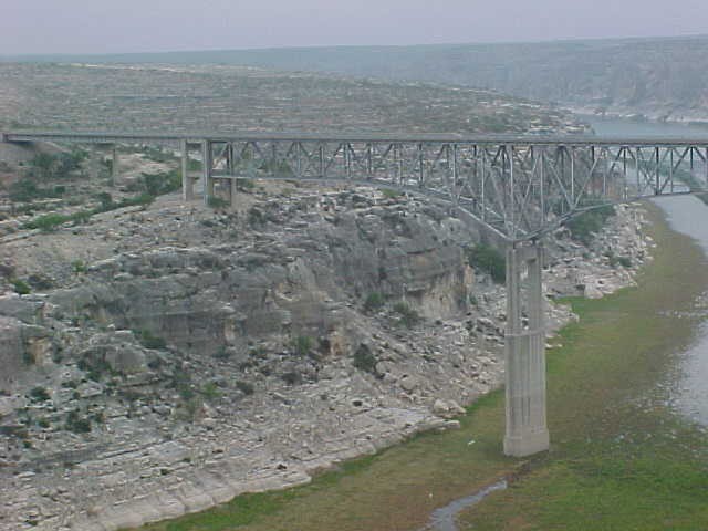
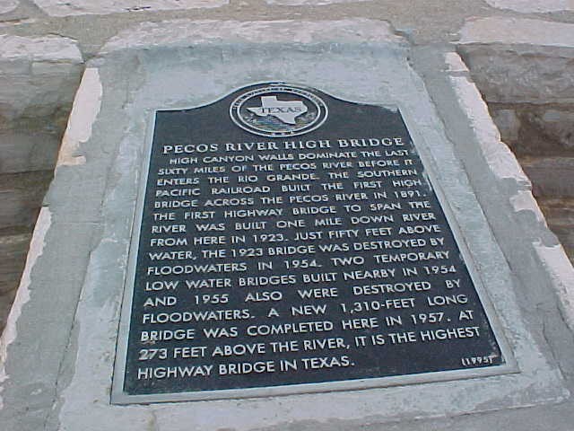
Hardly 25 miles into the trip and the riders in front are pulling off the road into another roadside park! So soon? The road winds it way up a hill and the reason is soon clear – this is the overlook for the Pecos River Bridger. The bridge is 1310 feet long and at 273 feet high it is is the highest highway bridge in Texas.
The original bridge was built near here by the Railroad in the late 1800’s. You have to marvel at how they were able to complete such a construction project over a hundred years ago.
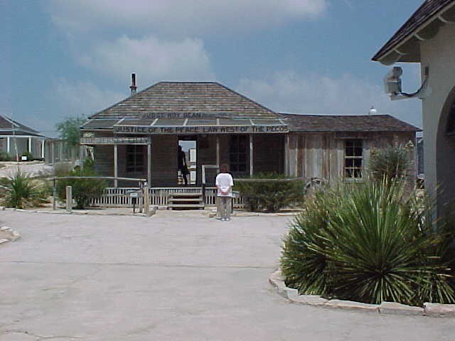
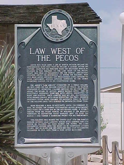
Next stop: Langtry, TX. (Population 18) Site of the Jersey Lilly Saloon/Judge Roy Bean’s Courtroom – “The Law West of the Pecos!” There is a great not-to-be-missed (free) museum here run by the Texas Dept. of Transportation.
After Langtry there isn’t much for miles and miles. In this country you had better top off your tank whenever you get a chance – gas stations can easily be a hundred miles apart.
Sanderson and a quick lunch, gas and then another 50 miles, or so, to Marathon. Marathon is home to the historic, and beautiful, Gage Hotel.
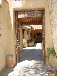 History: Alfred Gage left his native Vermont in 1878 and set out to make his fortune in the wide open spaces of Far West Texas. Finding work as a cowhand, he and his brothers later founded the Alpine Cattle Company south of Marathon. By 1920, Gage was a prosperous banker and rancher. Needing a headquarter for his extensive operations he employed the acclaimed firm of Trost and Trost to design a hotel, and Ponfords and Sons of El Paso to build it.
Opening in 1927, the Hotel became a gathering place for many ranchers and miners of the area. Gage, however, was unable to enjoy the success of his hotel. He passed away the year it opened.
After decades of neglect the Hotel was purchased by J.P. and Mary Jon Bryan of Houston. Restoration was begun as well as an expansion of the facilities. The Los Portales rooms were opened in 1992 and Café Cenizo opened in 1996.
After a quick visit to the Gage Hotel, I decided to ride to the Big Bend park with Ken Matthews. Ken was on a BMW and it was really impressive how easily the Beemer took the curves – the quickness and agility of the machine was awesome and Ken is a great rider. But it made me feel like I was driving a brick instead of a Harley.
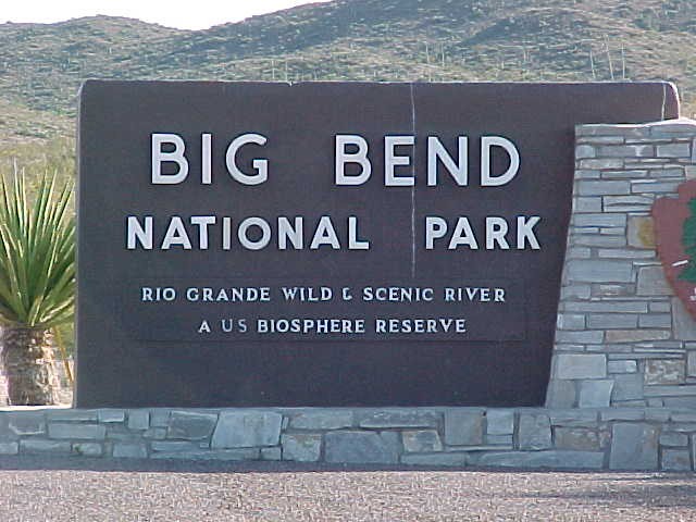
Once inside Big Bend National Park the speed limit drops to 45 mph, but it is obvious that enforcement ability is limited. Park HQ is about 25 miles inside the park and the road in to HQ is a lot of long, sweeping curves and gradual climbs. Once past HQ the terrain becomes a series of very challenging hills, curves and twisties. Don’t make a mistake here – there are no guard rails to deflect you from going over the side.
Study Butte (“stoody beaut”) was the destination – you could see it in the valley for 8 miles before you actually got to it. The rooms at Study Butte left a lot to be desired but lodging choices are very limited in this area.
After checking in we made a 3 mile run to “La Kiva” an underground bar and restaurant right next to a dry creek bed. The place is built into – and under – an outcropping in the side of the hill. Very rustic with barstools made of petrified wood and one of the most massive single-piece table tops I have ever seen. They said it was from a cotton wood tree – the board was about 5″ thick, 5 feet wide and over 25 feet long. The food was excellent but it had been a hot, tiring day and I was ready for a cold shower and some rest.
- Day 3. Study Butte to The Basin, to Lajitas to Presidio to Marfa to Ft. Davis to Alpine. (222 miles)
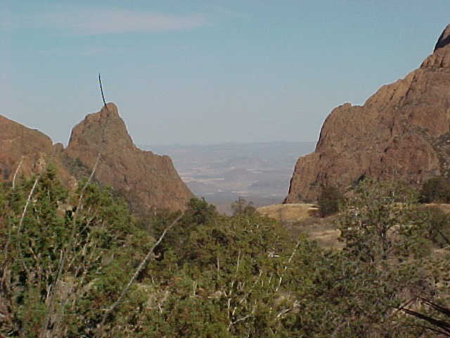
In normal riding a 172 mile day would be a cakewalk. Not so in this area. The first run was a return into the Big Bend National Park to visit the area called The Basin. If you go to Big Bend without seeing The Basin then you have missed big bend. The basin nestle among the tall peaks and is open on one side – “the window” which affords an incredible view of the valley, desert and mountains beyond. The National Park service runs a hotel and restaurant in The Basin – a great place to stay – but book well in advance.
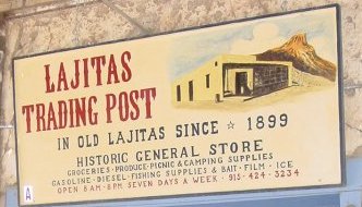 After an hour in The Basin it was another great ride back through Study Butte and Terlingua to Lajitas.The Lajitas (laheetos) Trading Post has been in business since 1899. Their claim to fame is the Mayor of Lajitas – a goat name Clay Henry. Pop the top on a longneck, let Clay Henry get his lips around it and you have never seen a beer chugged as fast as Clay can. Last year our group tried to get Clay “falling down drunk” but they ran out of money long before Clay ran out of sobriety.
Enough of this stop. It is high noon on Friday and we are headed for Presidio – frequently the hottest spot in the United States. We head down River Road – boy, have I been looking forward to this and within minutes we are at the TeePees. My mind snaps back into the present. . . .
. . . . The other riders have rested up, gotten refreshed and are ready to attack the last 43 miles of the River Road. Whoo boy! This is going to be fun! Almost as soon as we left the Teepees there was a steep “trucks use lower gear” 15% grade, full of switchbacks leading to the highest point on this run. From the peak the views of the Rio Grande River and BBNP are incredible.
Snap a few pictures and then on to Presidio “the nation’s hotspot”.. The other side of this hill was just as challenging as climbing it had been and then on for another 40 miles of some of the best riding in the world! The roadside park in Presidio was a welcomed site. Everyone was exhilarated, tired, thirsty, hungry and nearly out of gas. Finding a restaurant in Presidio proved too hard so I opted for some fried chicken and snack foods from a local grocery store.
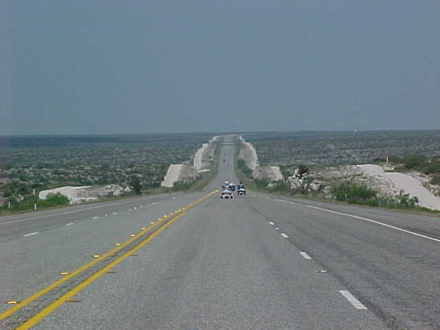
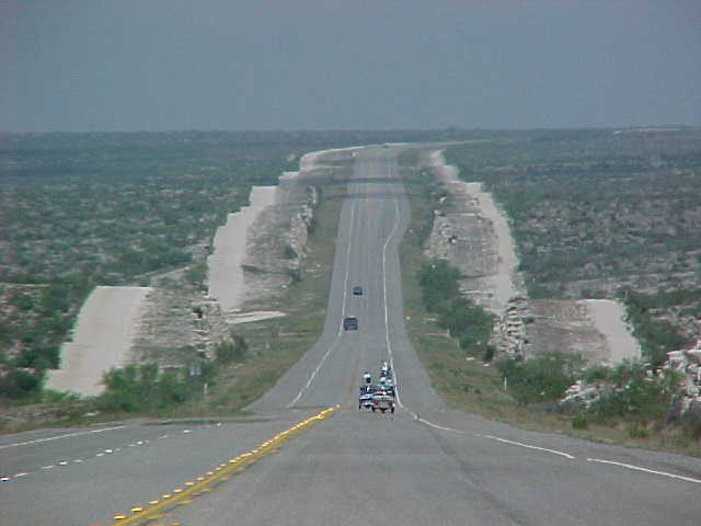
North from Presidio headed for Marfa (60 miles) the land changes dramatically to long gentle hills, mostly straight roads with sweeping curves. A different kind of riding from the morning but a lot of fun nevertheless. Besides, how much adrenaline can one person pump in one day? Marfa is home to a phenomenon of mysterious lights. Next time I will plan on being there at sunset to catch the show.
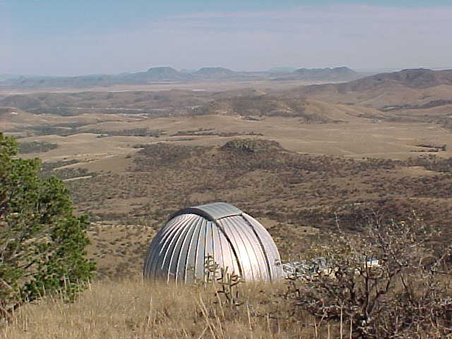
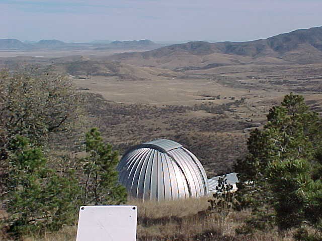
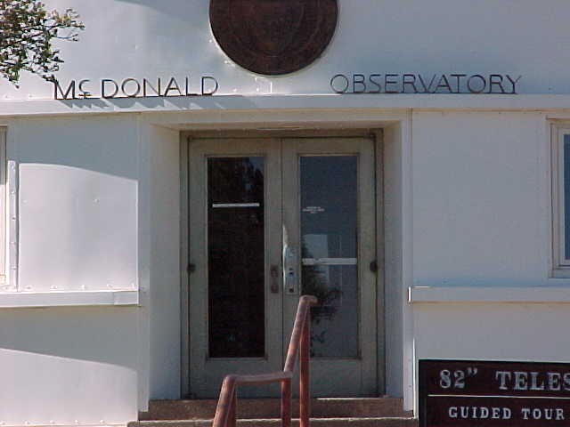
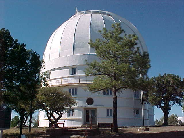
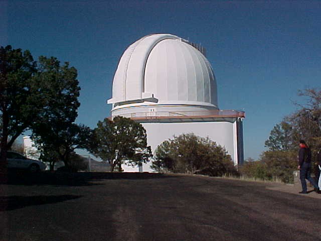
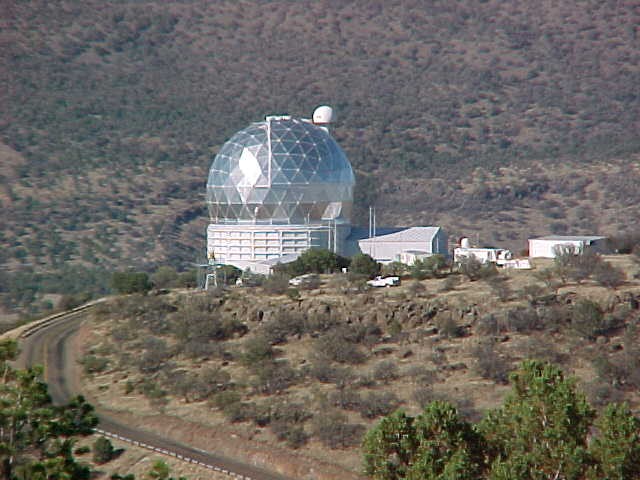
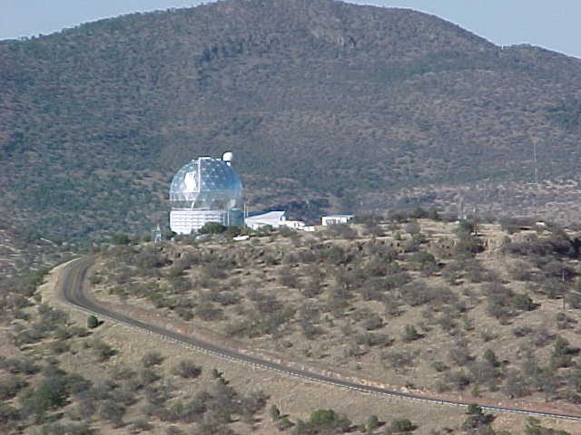
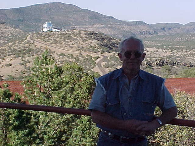
At Marfa we opted to go another 22 miles and visit Fort Davis. Besides being rich in Texas’ Military history, Ft. Davis is at the start of the scenic loop for the Davis Mountains and home to the MacDonald Observatory. Ft. Davis is a quaint little place very reminiscent of the Old West. Next trip will include more time to see the old Fort, the museum, the MacDonald Observatory and explore the town.
As we rode onto the scenic loop it was getting close to sunset and we quickly realized the warning signs for deer were there for a reason. There seemed to be deer grazing everywhere along the side of the road. At one point I counted over 40 in one herd peacefully munching grass.
Okay time to head East to Alpine and check in at the hotel. On a ride like this it seems that when you get about 5 miles from your hotel you begin to realize how tired your really are.Once there nothing was going to get me back on the bike again today!
Big Rick (Cowboy) had brought all of the equipment and supplies to make his famous frozen lime drinks (can you spell Cuervo Gold?) and he was really the Belle of the Ball for the next several hours. From our balcony we could see a Pizza Hut next door so that solved the problem of food. Although our group had dwindled in numbers they scarfed down 6 pizzas in nothing flat – riding hard really works up an appetite.
- Day 4. Alpine to Kerrville (about 340 miles)
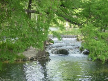
This would be a long day taking us from the dry, parched desert to the lush, cypress-lined banks of the Guadalupe River. Just outside Alpine is a junction where US 67 heads North to Fort Stockton and US 90 continues East through Del Rio. The group pulled in to the roadside park at the junction to decide the route. Either way it was a case of “you can’t get there from here” when looking at Alpine and Kerrville on the map.
The Fort Stockton route would take you to I-10 and where a 240 mile run at Interstate speed would put you in Kerrville. Fast, easy just watch out for the 18-wheelers.
US 90 meant a lot of towns, traffic lights and an indirect, but fun route through the Texas Hill Country from Hondo.
The group was split on what to do – the final result was about half went 90 and the other half went to I-10. The I-10 group did a little map strategy at the next rest stop and decided to take I-10 only to Sonora (100 miles) and then head South to get back into the Texas Hill Country. This route would offer a 20-mile ride along a river road following the Guadalupe River to Hunt, TX.
I-10 was fast – with very tough crosswinds. You realize how windy this area is when you see the large windmill farm East of Fort Stockton. Every mesa for miles seemed to be packed with rows of giant windmills.
 This part of I-10 is a long, mostly straight road with very mesa after mesa all looking pretty much the same. In other words – it is boring! Although a quick look at the speedometer assured me I was burning up some miles it seemed like I was getting nowhere. Wanting to get some photos without getting left behind I stayed out in front of the group. It was great – I could stop whenever, wherever I wanted and shoot pictures. At the Sonora rest stop I hooked up with a small group from the Fort Worth area and completed the ride into Kerrville with them.
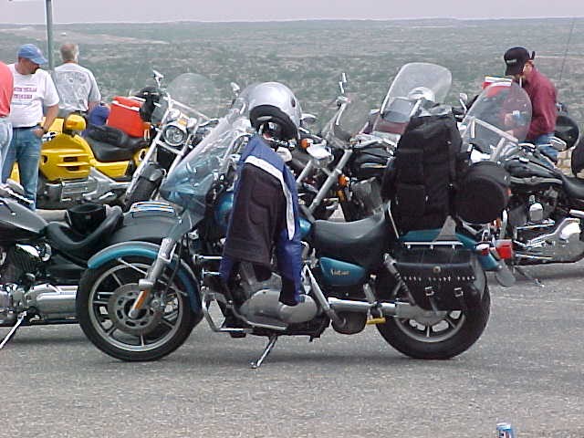
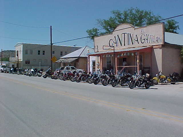
The route was Sonora to Rocksprings and over to Mountain Home. Bikers were everywhere in the Hill Country. Every kind from luxury Gold Wings to small dual-purpose bikes. The Hill Country has hundreds of miles of fun roads accompanied by incredible scenery and it really draws the biker crowd.
On river road and finally views of the Guadalupe River. What an unbelievably beautiful place after the harshness of the Big Bend. In Big Bend we crossed hundreds of streams, creeks and rivers that were nothing but dry river bed and now the Guadalupe was so green and clear. Lush grassed and stately cypress lined the edges of the river in both directions. Dozens of small dams created great pools of calm water for swimming and recreation. And everywhere the water flowing over the dams created the tinkling, rushing sounds of waterfalls.
One of our riders (Robert Gilbert – owner of Gilbert’s County Line Ice House) hit a patch of gravel near Leakey, TX and crashed. Miraculously his injuries were painful but not severe. He was transported to a trauma center in San Antonio where he underwent surgery to have a plate put into his ankle. He was scheduled to be released within 3 or 4 days.
With the exception of Robert all 60-plus riders in our group made it back to Kerrville for a Saturday night reunion. Safe, sound, sunburned, tired and ready to sign up for Big Bend 2004!
- Day 5. Kerrville – Fredericksburg – Luckenbach – Houston (285 miles)
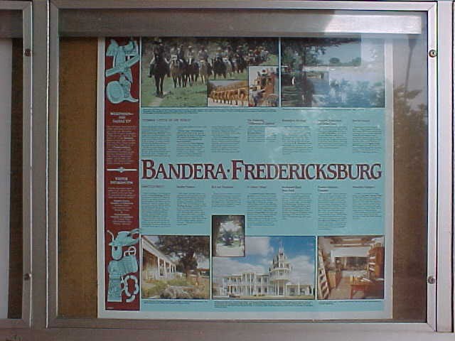
Although a mechanical malfunction with my bike forced me to ride straight home on Sunday, most of the group visited Fredericksburg, Luckenbach and rode “the devil’s backbone” in the Hill Country. By late Sunday even the most die-hard of the bunch had straggled into Gilbert’s Ice House to check in and recap the trip.
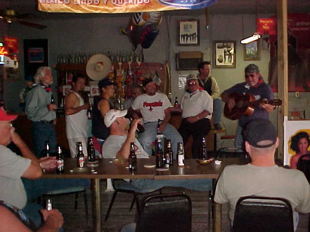
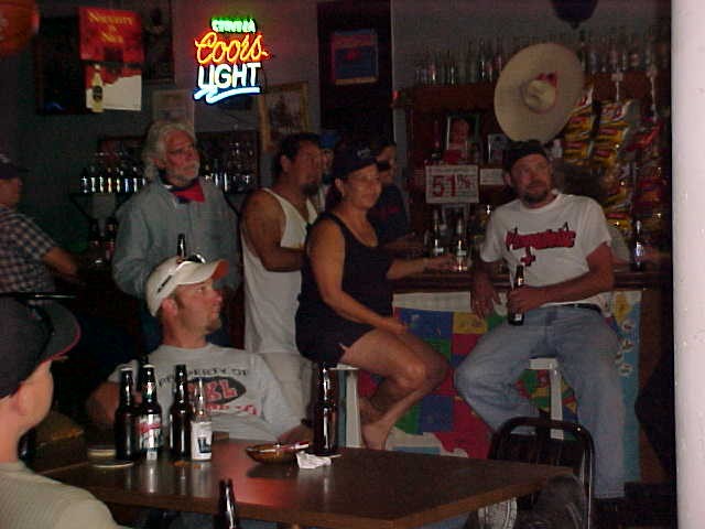
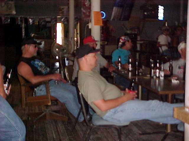
In total the 62 riders in Big Bend 2003 rode a cumulative total of over 100,000 miles. One accident, no serious mechanical failures, no fights and no big arguments. Just a bunch of guys getting together to share their passion for riding and to enjoy each other’s company.
My only regret is that I wasn’t able to make Big Bend 3 years ago when I was first invited. I understand how the trip it gets into your blood and why some of the guys have kept returning for 30 years.
Next year you can count on me doing “Big Bend” again!
After a trip like this I understand what inspired Kathryn Lee Bates to pen the following words after during cross-country trip in 1893;
“O beautiful for spacious skies,
For amber waves of grain,
For purple mountain majesties
Above the fruited plain!
America! America!
God shed his grace on thee
And crown thy good with brotherhood
From sea to shining sea!”
Archive notice: This article is preserved from the original BikerTrash.com archive. It reflects information available at the time of publication. Please verify dates, locations, prices, links, and other details before relying on them.